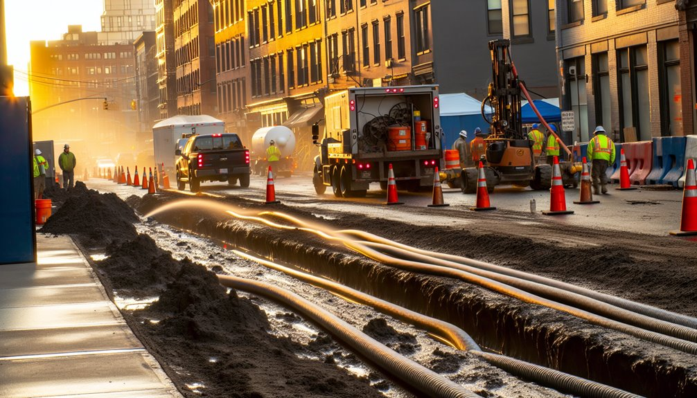
You face utility strikes when assumptions replace verified data. Ground‑penetrating radar (GPR) gives you measurable depths, orientations, and clearance zones, so crews plan and excavate with confidence. Integrated with EM tracing, control‑point georeferencing, and targeted potholing, GPR validates alignments, trims redesigns, and reduces emergency repairs and fines. With standardized data, daily QC, and clear field communication, you improve safety, schedule integrity, and insurance exposure—provided you understand where GPR excels and where it doesn’t.
Why Utility Strikes Happen and What’s at Stake
Although every project is unique, utility strikes usually stem from gaps in information, process, or control—and the consequences are severe.
You face exposure from incomplete records, poor change management, communication silos, human error, and vegetation interference that obscures marks and misleads depth assumptions.
Weather, soil variability, and undocumented repairs compound risk. When controls slip, excavation proceeds on assumptions instead of verified data and defined tolerances.
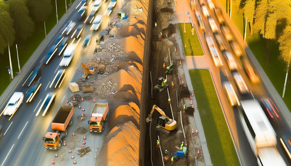
What’s at stake is more than schedule and budget. You could trigger outages, flooding, toxic releases, or arc flash. Crews and bystanders can suffer injuries. Your organization risks regulatory penalties, claims, reputational harm, and fractured stakeholder trust. A disciplined locate-to-dig workflow—pre-job briefs, positive identification, tolerance-zone methods, and continuous verification—protects people, assets, and the community you’re accountable to.
How GPR Locating Works Beneath the Surface
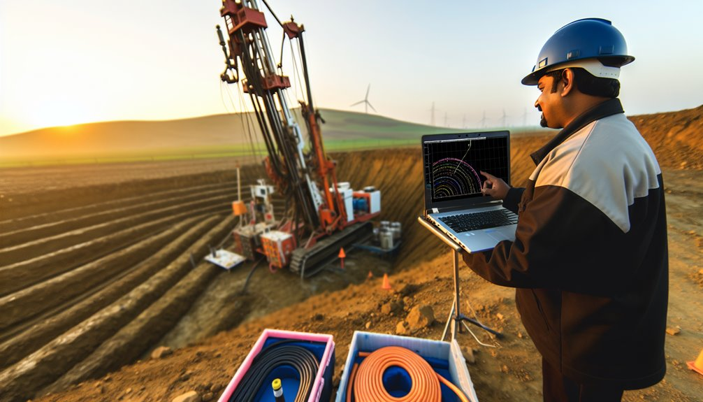
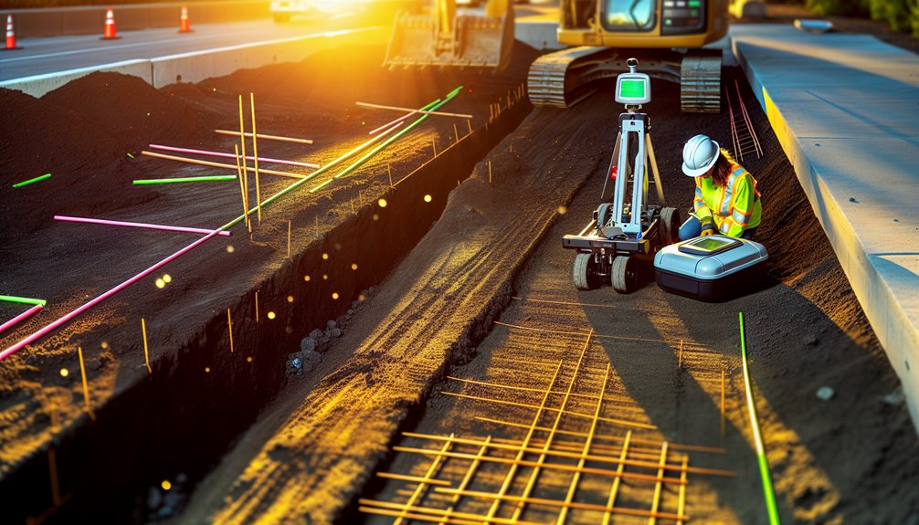
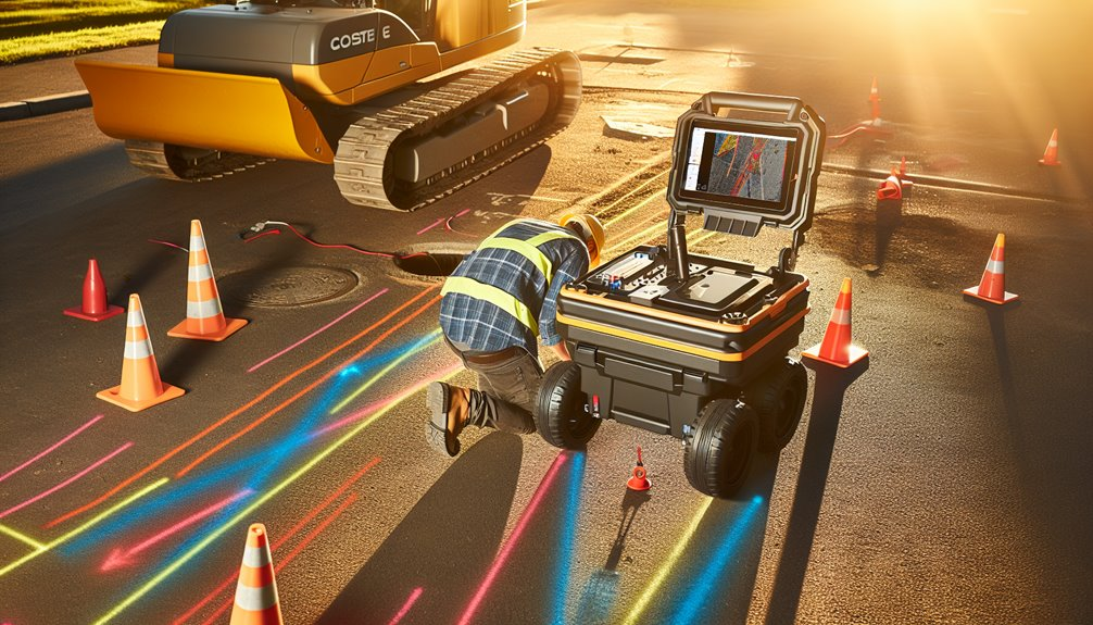
To move from risk to control, you need a locating method that produces verified subsurface data before you dig. With GPR, you transmit short electromagnetic pulses into the ground and measure reflections from material boundaries. You push the antenna along a grid, capture time-stamped traces, and build subsurface imaging profiles that reveal depth, geometry, and continuity.
You calibrate for soil conditions, select the right frequency, and set gain, filters, and stacking. Robust signal processing removes noise, enhances interfaces, and flags hyperbolas that indicate utilities. You correlate reflections across lines, mark targets on the surface, and log coordinates for QA.
You verify by cross-checking depths with velocity estimates from hyperbola fitting and control points. This disciplined workflow creates shared confidence and prevents avoidable strikes.
Comparing GPR to Traditional Utility Locate Methods
While paint-and-probe methods and electromagnetic (EM) locators remain standard practice for marking known, conductive lines, GPR adds a complementary, non-invasive scan that detects both conductive and non-conductive utilities and surrounding subsurface features. You’ll compare radar vs traditional tools by anchoring each method to its strengths and limits. EM excels when you can induce or trace current. Magnetic detection is reliable for ferrous targets. However, soil conditions, stray currents, and unknown abandonments introduce risk.
Use ground penetrating radar to map reflections, verify depths, and delineate anomalies without contact. Follow a process: cross-line your passes, correlate EM, magnetic, and GPR results, and document discrepancies. Seek ground truth with targeted potholing only after data convergence. This integrated workflow reduces miss rates, shortens downtime, and keeps your crew aligned.
Detecting Metallic and Non‑Metallic Utilities With Confidence
Building on the comparative strengths of EM and magnetic tools, you use GPR to confirm both metallic and non‑metallic utilities with traceable accuracy. You calibrate antenna frequency to balance penetration and resolution, then grid the site for consistent coverage. Real‑time hyperbola recognition and Material differentiation help you classify pipes, ducts, and voids, even when tracer wires are absent. You validate targets by intersecting passes, ensuring confidence before paint hits the ground.
Next, you perform Depth mapping by migrating reflections and correcting for dielectric constants derived from test shots or known depths. You record depth, size, and orientation, tagging anomalies with georeferenced marks. You communicate uncertainty bands where soil heterogeneity or saturation affects signal. By following this workflow, you protect crews, avoid service disruptions, and deliver reliable locate decisions.
Validating As‑Builts and Reducing Change Orders
Cross-checking survey data against legacy plans starts the validation process and drives down change orders before excavation begins. You compare GPR hyperbolas, depth slices, and migration outputs with recorded utility alignments to perform as built verification that’s defensible and repeatable. You log offsets, depths, and pipe diameters, then tag discrepancies with coordinates and confidence ratings. This disciplined loop exposes undocumented reroutes, abandoned lines, and depth variances that trigger change mitigation before mobilization.
You standardize naming conventions, photo-log marks, and push findings to your field sheets so crews share one truth. You prioritize conflicts by safety risk, proximity to structures, and schedule impact. By closing gaps between what’s drawn and what’s in the ground, you reduce RFIs, compress re-design cycles, and prevent costly utility strikes and rework.
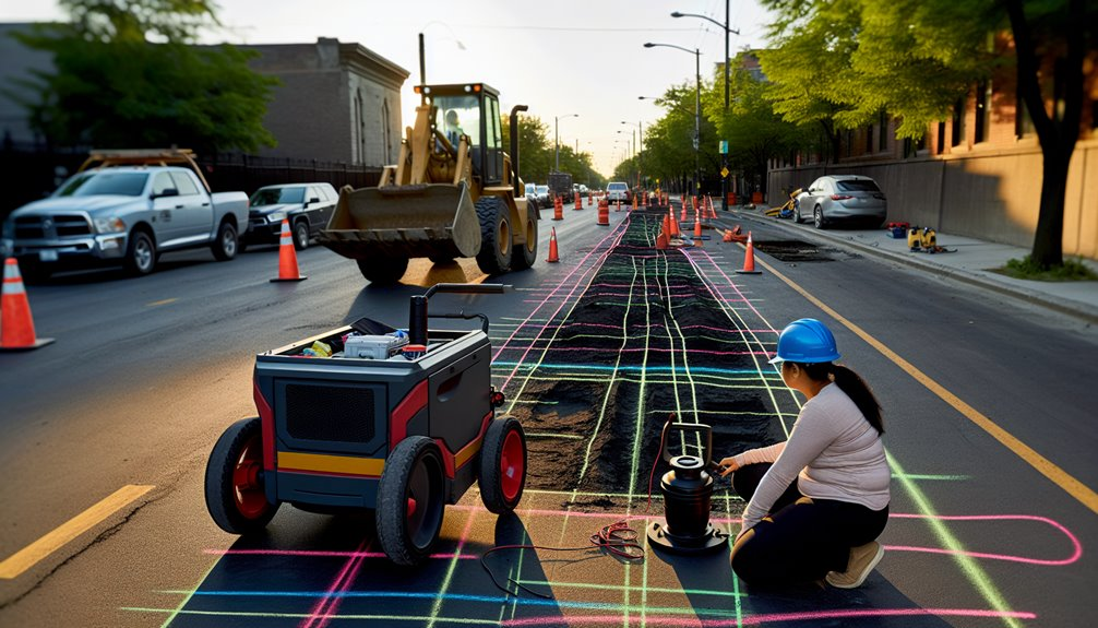
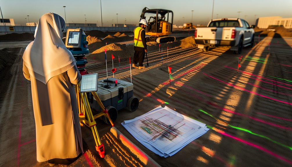
Integrating GPR With 811, EM Locators, and Project Workflows
Because no single method sees everything, you integrate GPR with 811 marks, electromagnetic (EM) locators, and your project controls to create a layered, auditable utility map before any dig. You sequence tasks: call 811, capture paint and flags, run EM to trace conductive lines, then scan with GPR to fill nonconductive gaps. You georeference all results to control points and push real-time updates to your CDE so field and office stay aligned.
You standardize file naming, symbology, and metadata so crews, subs, and owners read the same map. You log confidence levels, tie-outs, and photos, and require third‑party coordination meetings to resolve conflicts before mobilization. You embed hold points: pothole critical crossings, verify depths, and only release work when checks pass and updates publish.
Interpreting GPR Data: Accuracy, Limitations, and Best Uses
While GPR can resolve buried targets with impressive detail, you only trust it when you understand what it’s showing, what it’s not, and why.
Start by matching antenna frequency to required data resolution: high frequencies sharpen small, shallow targets; lower frequencies penetrate deeper with coarser detail.
Calibrate depth using dielectric estimates from known features, then refine with hyperbola fitting.
In your signal interpretation, validate continuous linear reflectors as utilities, distinguish isolated hyperbolas as discrete objects, and flag shadow zones or ringing as artifacts.
Account for limitations: clay-rich soils, saline conditions, rebar, and saturated ground attenuate signals and mask depth.
Control variables—survey grid spacing, line orientation, and consistent gain.
Cross-check anomalies from multiple directions, document confidence levels, and mark uncertainty.
Use GPR where heterogeneity demands rapid, non-invasive subsurface mapping.
Safety and Compliance Benefits Across Job Sites
Even before you break ground, integrating GPR into your locating workflow reduces strike risk and aligns field practice with OSHA, PHMSA, and 811 requirements. You standardize site safety and regulatory adherence by validating mark-outs, documenting subsurface conditions, and confirming clearances before excavation.
Build repeatable procedures: calibrate equipment, grid the search area, log anomalies, and verify with hand exposure where required. You protect crews, subcontractors, and the surrounding community by sharing reliable locating data and enforcing stop-work criteria when signals conflict.
- Painted grids guiding trench routes
- Tagged screenshots in daily reports
- Cones and flags marking buffer zones
- Tablet checklists confirming verifications
- Tailboard briefs with scan overlays
With GPR, you create a common operating picture across job sites, reduce uncertainty, and uphold a culture where everyone belongs to the safety process.
Cost Avoidance: Time, Money, and Risk Reduction

Standardizing safety with GPR doesn’t just protect people—it protects budgets and schedules. You avoid strike-related shutdowns, emergency repairs, and claims that drain contingency funds. By verifying subsurface utilities before excavation, you lock in time savings through fewer redesigns, fewer permits revisited, and less rework. You also compress cycle time because stakeholders trust documented locate data, enabling parallel planning and uninterrupted crews.
GPR strengthens risk mitigation by replacing assumptions with verifiable evidence: depth estimates, utility orientation, and safe clearance zones. That precision cuts premium exposure, liquidated damages, and reputational costs tied to service disruptions. You allocate resources efficiently—right-size vacuum potholing, sequence trades once, and mobilize equipment with confidence. The result is predictable labor burn, controlled material use, and fewer change orders—cost avoidance you can measure.
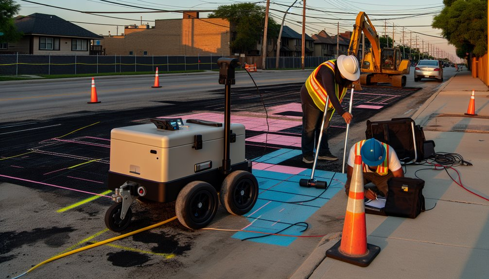
Field Best Practices for Reliable GPR Results
Before you push a cart, lock down the basics: define the survey objective, review as-builts and 811 marks, and plan a grid with lane spacing matched to antenna frequency and target size. Calibrate time-zero, confirm coupling on the surface, and verify depth scale with a known target. Standardize units, filenames, and metadata for clean data documentation. Perform equipment maintenance before mobilization and after demobilization.
- Fresh paint lines on pavement, tight grid tape, and arrowed lane labels
- A level antenna skimming the surface, steady pace, straight lines
- Real-time hyperbolas marked, flags staked, offsets noted in the log
- Control points shot with GNSS/total station for repeatable georeferencing
- Daily QC: battery health, firmware versions, test scans archived
Always reconcile anomalies with EM, sondes, or potholing, and brief the crew before excavation.
Conclusion
At Boring Bros, I’ve seen how replacing guesswork with measured subsurface intelligence saves time, money, and headaches on every job. We use GPR to map depths, orientations, and clearances, then back that up with EM tracing, control-point georeferencing, and targeted potholing so you can rely on what’s in the ground. We standardize data, document daily QC, and communicate clearly with crews in the field — and we pick the right antennas and survey grids for soil, moisture, and congestion limits. The result? Verified as-builts, fewer change orders, compliance you can trust, and schedules that stay on track. If you want to lower risk, cost, and exposure on your next project, visit boringbro.com to learn more or give me a call at (954) 639-6167 — I’d love to talk about how we can help.