You’re planning utility work in a historic district, so start with a tight pre-construction survey that maps buried lines, fragile foundations, tree roots, and environmental constraints. Coordinate early with preservation boards and utility owners to set work windows, permits, and vibration limits. Favor trenchless methods, vacuum and hand digging near sensitive assets. Define no-go buffers, safe staging, and pedestrian controls. Build daily reporting and stop‑work triggers into your plan, because the real test begins when constraints conflict.
Conduct Comprehensive Pre-Construction Site Assessments

Before you break ground, map the site’s historical, environmental, and regulatory context so you know exactly what you’re disturbing—and what must be protected.
Start with a layered survey: document existing utilities, easements, and subsurface anomalies using ground-penetrating radar and utility locators.
Cross-check archival maps to understand the historical fabric and likely artifact zones.
Flag structures with fragile foundations, tree root zones, and soils prone to erosion or settlement.
Assess environmental constraints: floodplain boundaries, stormwater flow paths, contaminated soils, and habitat corridors.
Define no-go buffers around heritage elements and sensitive ecologies.
Establish safe access, staging, and spoil areas that minimize vibration and runoff.
Create a risk register with triggers, thresholds, and stop-work protocols.
Share findings with your field team so everyone protects place, people, and continuity.
Coordinate Early With Preservation Boards and Local Authorities
Although your site assessment sets the baseline, you still need early, structured coordination with the preservation commission, planning department, utility owners, and state historic preservation office to lock in what’s permissible and how. Prioritize early engagement to clarify significance thresholds, allowable work windows, vibration and noise limits, and streetscape preservation standards.
Convene a kickoff meeting to align scopes, submittal formats, and decision timelines. Secure joint permitting where possible to reduce sequencing risks and conflicting conditions. Share concept drawings, trenchless options, and traffic-management plans, and ask for pre-approval of alternative methods and materials that minimize ground disturbance.
Document agreements in a consolidated matrix of conditions, point-of-contact roles, and escalation paths. Commit to predictable updates so officials and neighbors feel included, respected, and protected.
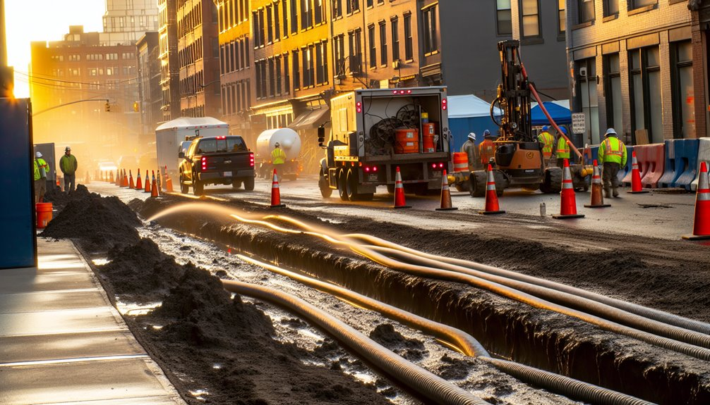
Map and Protect Existing Utilities and Fragile Infrastructure

With roles, limits, and methods aligned with regulators, you can now focus on what’s in the ground and at risk. Begin by consolidating utility records, as-builts, and recent street openings into a single georeferenced base. Validate it with site walks, valve and vault locating, and stakeholder interviews. Commission archaeological surveys to identify cultural layers and burial contexts before any staking.
Use ground penetrating radar, electromagnetic locators, and acoustic leak detection to map voids, shallow conduits, and undocumented laterals. Flag heritage materials—clay tiles, stone culverts, cast-iron mains, brick sewers—and note fragile conditions like corrosion or settlement. Establish protection zones, adjust alignments, and specify temporary shoring and load limits. Mark routes visibly, brief crews daily, and record every find, so the whole team safeguards shared history.
Use Non-Invasive Installation Methods and Low-Vibration Equipment
Even as schedules tighten, you’ll protect fabric and foundations by prioritizing trenchless and low-impact techniques that limit ground disturbance and vibration. Choose methods that respect heritage soils, tree roots, and masonry, and invite stakeholders to see how your care preserves shared identity and value.
- Select trenchless options—pilot-guided HDD or pipe bursting with vibration-dampened rigs—after verifying clear paths with magnetic locating services to avoid unintended strikes.
- Where exposure is unavoidable, use hand excavation techniques with insulated tools, vacuum excavation, and spoil control to keep profiles narrow and stable.
- Specify low-vibration compaction (e.g., plate compactors with isolation mounts) and stage lifts thin to protect adjacent foundations.
- Schedule short duty cycles, monitor vibration with seismographs, and set stop-work thresholds calibrated to local building fragility and soil behavior.
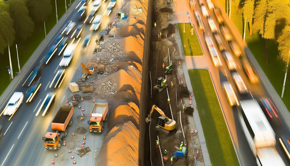
Implement Traffic, Pedestrian, and Work-Zone Safety Controls

Footpaths and carriageways in historic districts demand work zones that move people safely while protecting fragile streetscapes. You’ll define clear pedestrian detours first, using temporary barriers that avoid anchoring into historic pavements. Mark accessible routes with high-contrast, non-slip mats and low-profile ramps that won’t stress curbs. Maintain sightlines to heritage storefronts and monuments by placing signage at eye level, not on façades.
Stage vehicles outside narrow lanes; keep turning radii away from stone edges. Use advance warning signs scaled to context, reflective at night, and shielded from lantern glare. Keep flaggers onsite during peak hours to meter traffic and escort vulnerable users. Set buffered work limits with cones and water-filled barricades, inspected daily. Control dust, cords, and spoil piles to prevent slips, trips, and vibration creep.
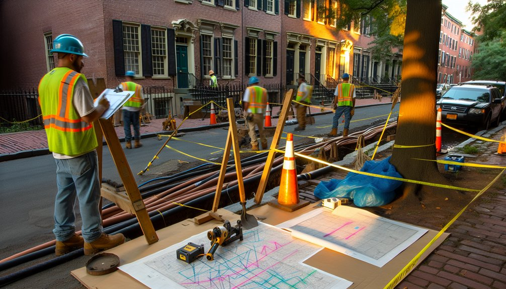
Establish Clear Communication and Notification Protocols With Stakeholders
Consistently set expectations early by mapping who needs to know what, when, and how before any utility work begins.
You’re stewarding living streetscapes, so align notices with building hours, cultural events, and seasonal tourism.
Use communication templates that show scope, access changes, and noise windows.
Share stakeholder timelines so residents, businesses, and preservation groups feel seen—and prepared.
- Identify stakeholders by parcel and use: tenants, owners, merchants, schools, disability advocates, and heritage stewards; assign a contact for each.
- Choose channels that fit the district’s habits: door hangers, SMS, email, and bulletin boards at transit stops and landmarks.
- Publish a construction clock: milestones, daily work windows, and restoration dates in plain language.
- Create two-way feedback: hotline, field ambassador walk-throughs, and multilingual updates to protect trust and historic character.
Monitor, Document, and Adjust Through Ongoing Risk Management

With communication protocols in place, you can now track real-world conditions and correct course before small issues become losses to historic fabric.
Build an ongoing monitoring plan that logs soil moisture, vibration, settlement, and utility trench stability at defined intervals. Use baseline photos, calibrated gauges, and geo-referenced notes so changes are measurable, not anecdotal. Require crews to submit daily condition reports; verify them with independent spot checks.
Document every deviation, near miss, and protection repair, tying each to location and time. Share concise dashboards with stakeholders so everyone sees trends and feels ownership.
Practice adaptive mitigation: tighten shoring, adjust equipment routes, or pause work when thresholds are exceeded. Close the loop by updating risk registers, revising method statements, and training teams on lessons learned.
Conclusion
As the owner of Boring Bros., I’ve seen how thoughtful planning and careful techniques protect our historic streets while getting modern utilities in place — and I’d love to help you do the same. If you want to talk through options, see examples of our work, or get a quote, please visit boringbro.com or give us a call at (954) 639-6167. We’re friendly, experienced, and ready to work with you to preserve the past while building for the future.